Hydrograph Survey

Navigating Tomorrow with Expert Surveys
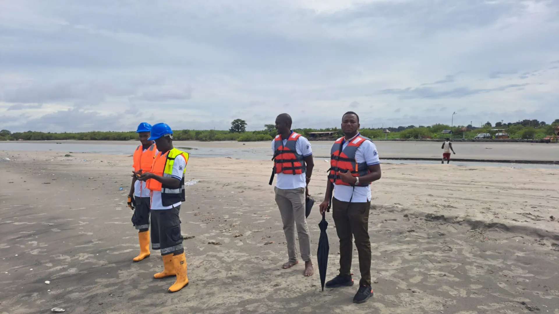
At AFROBEL DREDGING AND MINING COMPANY LIMITED, we offer comprehensive hydrograph survey services that are crucial for accurate data collection and analysis in various aquatic and marine environments. Our hydrograph surveys are designed to support a wide range of applications, from navigation safety to environmental assessments and infrastructure planning.
Services
Our Hydrograph Survey Include

Bathymetric Mapping
Detailed measurement and mapping of underwater topography to support dredging, construction, and environmental monitoring projects

Seafloor Profiling
Precise profiling of the seafloor to determine sediment types, depths, and potential obstacles, ensuring safe and efficient operations.

Marine Spatial Planning
Providing essential data for marine spatial planning and management to support sustainable development and resource utilization

Environmental Impact Assessments
Evaluating the potential impacts of proposed projects on aquatic environments, helping to ensure compliance with environmental regulations and minimize ecological disruption.

Navigation Safety Assessments
Assessing and mapping underwater features to enhance navigational safety for vessels and other marine operations.

Why Choose Us?
Explore our hydrograph survey services and discover how AFROBEL DREDGING AND MINING COMPANY LIMITED can support your projects with precise and insightful data. Contact us to learn more about our capabilities and how we can assist with your next survey.
- Advanced Technology : We utilize state-of-the-art hydrographic survey equipment and software to deliver accurate and reliable data
- Expert Teams : Our team of skilled professionals has extensive experience in conducting hydrograph surveys and interpreting complex data
- Custom Solutions :We tailor our services to meet the specific needs of each project, ensuring that you receive the most relevant and actionable information
- Commitment to Quality :We adhere to industry best practices and standards to provide high-quality survey results and exceptional service
Appoinment
Get in Touch
Ready to partner with a company that delivers excellence in dredging and mining? Contact Afrobel Dredging and Mining Company Limited today to learn more about our services and how we can help you achieve success in your projects.
